Explore on Google Street View
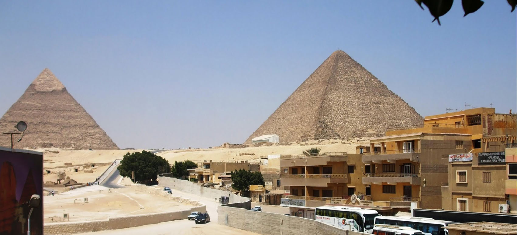 On Tuesday morning, Google unveiled Street View Egypt in Google Maps, the latest step in the tech giant’s quest to image and map the seven wonders of the world. This new collection includes 360-degree views of the Great Pyramids of Giza, the necropolis of Saqqara, the Citadel of Qaitbay, the Cairo Citadel, the Hanging Church and the ancient city of Abu Mena.
Google Street View began in 2007 and has since covered more than 7.2 million unique miles across more than 59 countries, gathering tens of millions of images that cover iconic landmarks and monuments, including the Taj Mahal, Angkor Wat, the Galapagos Islands, Everest Base Camp, the Grand Canyon and the Colosseum. Images are collected using 75-megapixel 360-degree panoramic cameras mounted on Street View Cars, or in the case of Street View Egypt and other hard-to-reach locations, “Trekkers” — backpack-like mounts worn by team members as they walk, hike and climb through a given location.
via Here’s How to Explore the Pyramids From Your Own Home | TIME.